e-LegTas
GIS-based evacuation management for Philippine LGU disaster risk operations
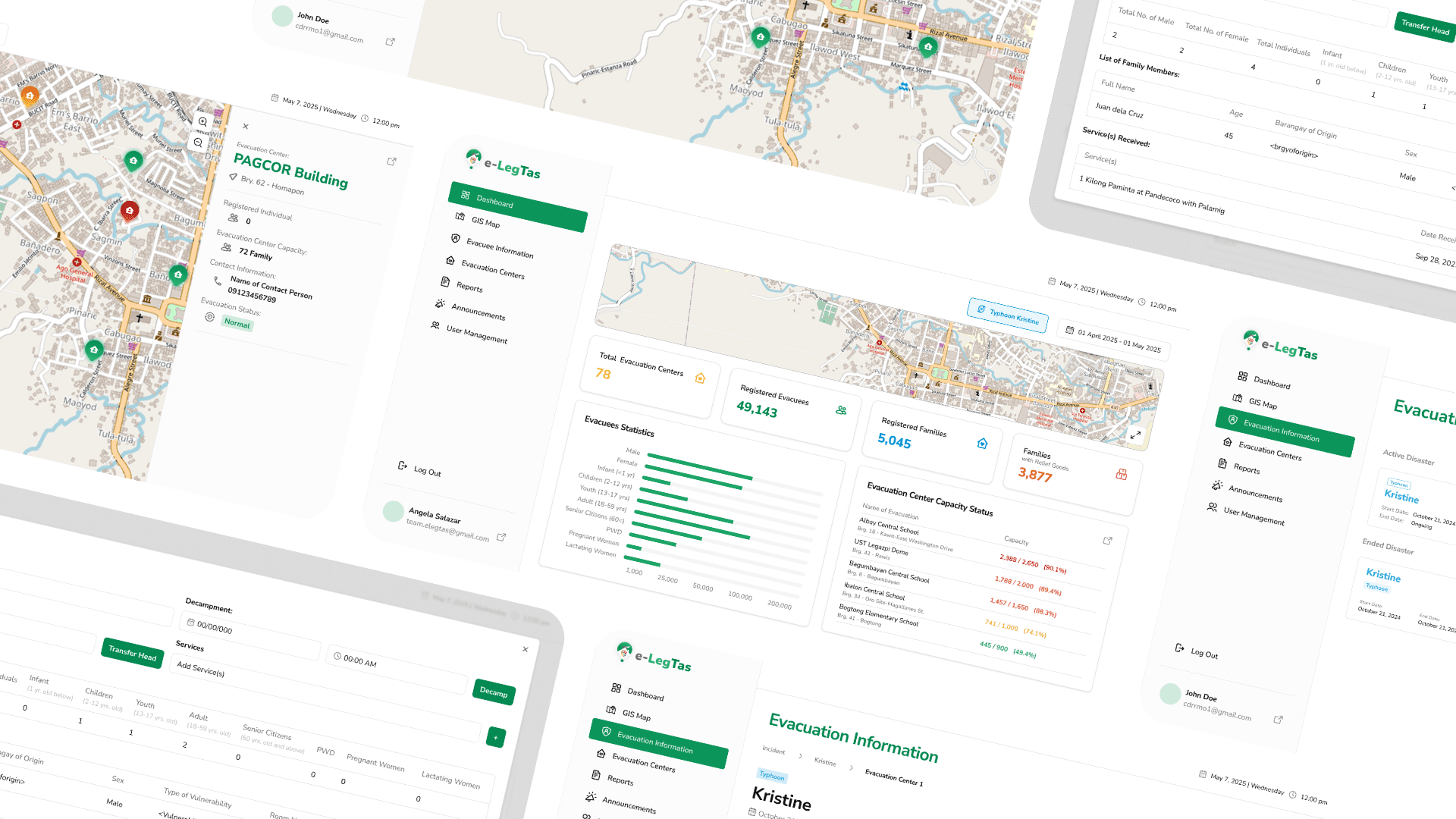
e-LegTas operations overview
Featured view of the GIS-based evacuation management system
Technical Lead & Full Stack Developer
Feb 2025 – Nov 2025
Led 5-person development team · 6 months
Overview
e-LegTas is a GIS-based Evacuation Management System designed for Philippine LGU disaster risk management. I led a 5-person development team for 6 months, delivering core system architecture from requirements through production deployment.
I translated the client's manual DRRM processes into structured technical requirements, designed a relational database schema of 80 tables via ERD modeling, and created sequence diagrams for end-to-end workflows across system roles. The stack — React, Node/Express, PostgreSQL was selected for scalability and real-time data needs.
I built real-time GIS mapping with OpenStreetMap and Server-Sent Events (SSE), tracking live evacuee counts, demographic breakdowns, and on-site personnel across 70 evacuation centers. Backend response times improved by up to 80% (300–500ms → 50–100ms). Security work included OWASP ZAP remediation, Helmet.js, and Redis-based rate limiting, plus a Dockerized CI/CD pipeline deploying to AWS EC2 with RDS.
What I did
Concrete contributions I owned on this project:
- Led a 5-person development team for 6 months, delivering core system architecture for a GIS-based disaster evacuation platform
- Translated client's manual DRRM processes into structured technical requirements for a full digital system redesign
- Designed a relational database schema of 80 tables via ERD modeling, with sequence diagrams for end-to-end user workflows
- Built real-time GIS mapping using OpenStreetMap and SSE — live evacuee counts, demographics, and personnel across 70 evacuation centers
- Optimized backend response times by up to 80% (300–500ms → 50–100ms) through bottleneck analysis and query/API optimization
- Conducted OWASP ZAP security testing, remediating SQL injection risks and eliminating all high/medium-severity findings
- Hardened security with Helmet.js and Redis-based rate limiting; shipped CI/CD with Docker to AWS EC2 + RDS
Challenges
- Real-time evacuation data must stay accurate under disaster-response pressure
- Translating manual LGU DRRM processes into a multi-role digital system
- Production security bar for a civic / LGU deployment